views
After a subpar monsoon season, India now stares at a ‘strong El Niño’ event this winter, with global forecasters predicting a 75-80 per cent chance of it peaking during November-January.
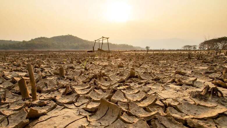
A natural climate phenomenon, El Niño is linked with periodic warming of the equatorial Pacific Ocean that has a powerful impact on the weather worldwide. In India, it is known to aggravate heat waves and weaken the summer monsoon, causing droughts.
According to the US-based National Oceanic and Atmospheric Administration (NOAA), there is a 3 in 10 chance of a “historically strong” event that rivals the 2015-16 and 1997-98 El Niño which led to widespread droughts and floods in different countries.
The forecast is worrying because the 2015-16 event was exceptionally disastrous for India. Temperatures soared and drought gripped several states as they reeled under the impact of two back-to-back subpar monsoon seasons in 2014 and 2015, pushing India into an agrarian crisis. Overall, El Niño is bad news for India.
HOW WILL IT IMPACT INDIA?
El Niño is known for raising average global temperatures by releasing more heat into the atmosphere. But this influence varies across countries. According to senior atmospheric scientist Dr M Rajeevan, who formerly led the Ministry of Earth Sciences (MoES), the impact of rising temperatures is likely to be felt across India.
“We have already seen mercury breaching all-time records in August and September, and 2023 may end up as the warmest year ever. The effects of El Niño could be felt till the pre-monsoon season next year with possible heat waves. But for now, it seems that it may favour the northeast monsoon in the southern peninsula,” he tells News18.
Unlike the June to September summer monsoon, the north-east (winter) monsoon that starts in October and brings rains over southern states shares a favourable relationship with El Niño. Together with a positive Indian Ocean Dipole (IOD) — another weather system — it may cause excess rains down south which is in consonance with the India Meteorological Department (IMD)’s forecast of above-normal rains for southern states during this period.
But there is a caveat. More extreme rainfall events, say meteorologists. The influence of El Niño is inextricably connected with climate change which has increased the intensity and frequency of heavy rainfall events.
“El NINO WINTER” AMID CLIMATE CHANGE STILL A MYSTERY
Scientists investigating the potential influence of the climate phenomenon over the Indian weather point out that there is no direct one-to-one relation between the two. The four-month southwest monsoon season which ended this September is a case in point.
“We saw El Niño’s imprint on the southwest monsoon. It was completely lopsided — August saw prolonged drought conditions with sparse rains, which then picked up in September because other factors dominated. So the rains were less than expected, though overall they fell within the seasonal average,” says senior scientist Dr S C Shenoi, who headed the Indian National Centre for Ocean Information Services (INCOIS), Hyderabad.
He sums up, “So we know that El Niño is not fizzling out anytime soon. It will get stronger. But its impact on India will have to be considered in light of other climate factors at play, which are also evolving simultaneously.”
WILL IT BE STRONGER THAN 2015-16?
It is still a mystery how an El Niño winter will look like under the glaring impact of climate change. The predictions vary across different climate models. Senior earth-system scientist at the Indian Institute of Technology (IIT), Bombay, Dr Raghu Murtugudde — who has been monitoring the changes in sea-surface temperatures — says he still has his doubts whether El Niño can gain strength in such a short time.
“I am not sure how likely it is to grow so fast. I have been watching the heat content and sea-surface temperatures and I am not so sure that it will grow to a record one. But we have to see, since model forecast skill should be high at such short lead times. I am sceptical that this will be much stronger than 2015-16,” he adds.
Meanwhile, India’s weather department has forecasted above-normal temperatures during Octoberand continuance of El Niño conditions during the winter season which is expected to set in soon.
THE CURRENT FORECAST
El Niño normally occurs after every two to seven years, and persists for nine months to a year, occasionally lasting up to two years. The current El Niño event started developing around late July, and has already become ‘moderate’ with surface waters of the equatorial Pacific Ocean now over a degree warmer than normal.
According to global forecasters, it is expected to continue through March to May next year, and subsequently weaken thereafter. Stronger El Niño events increase the likelihood of climate anomalies, but do not necessarily equate to strong impacts locally.


Comments
0 comment